Property Details
- Status: - Active Listings, Featured
- Price/Acre: $ 10,875
- Total Acres: 69.61 (+/-)
- Total Price: $ 757,000
- County: Screven County
- Contact: John Frankhouser at 912-682-6429
- Latitude: 32.728795
- Longitude: -81.658863
- Current Zoning: Highway Commercial
- Potential Uses: Commercial, Commercial Use, Development, Home Site, Hunting, Recreational, Timber Investment
Screven County GA Commercial Property
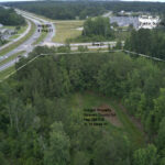
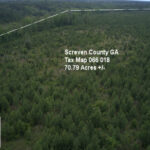
Screven Tax Map 066 018
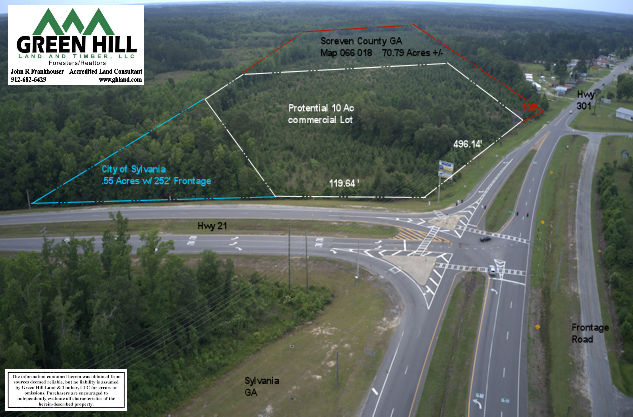
Property is 70.79 Acres +/- Landowner may be willing to divide property.
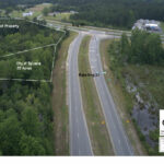
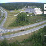
Location: Intersection of US Hwy 301 and State Hwy 21
Lat-Lon 32.728795, -81.658863
Zoning & Utilities: Highway Commercial
- Water & Sewer 331’ from Property across Hwy 21
- 3 Phase Power on Site
- City of Sylvania would Annex Property if utilities brought to property.
Frontage:
- Us Hwy 301 Frontage – 604.89’
- State Hwy 21 Frontage – 119.64’
- There is a possibility of another .55 Acres and 252’ that may be added on State Hwy 21 adjacent to the property.
Elevation:
- Highest elevation is 221’ on US Hwy 301 and drops to 201’ at State Hwy 21.
- State Hwy 21 elevation of 201’ drops to 196.9’ at edge of property on Hwy 21.
- The additional .55 acres that may be acquired is adjacent to subject property at 196.9’ and drops to 186.2’ which would add an additional 252’ of Hwy 21 Frontage.
Estimated Traffic Count – 7,000
A draft plat of 10 acres has been made to show possible division. This draft provides distances and elevations to various locations on the subject property and water and sewer locations. We also have GDOT Right of Way drawings that will be helpful.
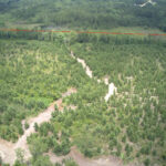
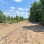
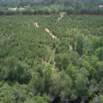
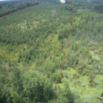
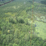
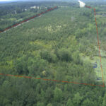
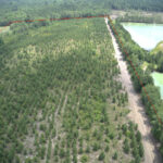
Current use is timber investment and recreational use. Highest and best use is commercial/development. This site is probably the best site for service station/kitchen and truck stop. Front of the property is at main traffic intersection in Screven County. Most all truck traffic passes this location and all traffic going toward Statesboro and most headed to Savannah.
Plats with Distances, Elevations & Utilities
Ridlehoover Plat of 10 Ac Commercial Proposal
Ridlehoover Plat of Elevation and Sewer
RIDLEHOOVER FRANK 69.61 ACRES
GDOT Right of Way Files
262170_0000001_RW
262170_0000002_RW
The information contained herein was obtained from sources deemed reliable, but no liability is assumed for errors or omissions. Purchasers are encouraged to independently evaluate all characteristics of the herein-described property. Notice to Brokers is posted on our website.

 Land.com recognizes Jack Frankhouser as a top producer in the Southeast. Jack's hard work, expertise, and professionalism has helped many people with their land.