Property Details
- Status: - Property Sold
- Price/Acre: $ 2,591
- Total Acres: 154 (+/-)
- Total Price: $ 399,000
- County: Baldwin County
- Contact: Jack Frankhouser at 912-678-5920
- Latitude: 33.0548029
- Longitude: -83.0793916
- Current Zoning: Ag
- Potential Uses: Home Site, Hunting, Recreational, Timber Investment
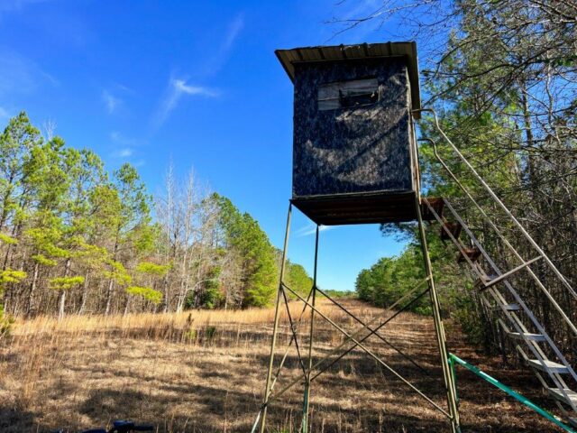
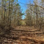
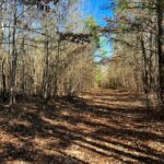
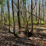
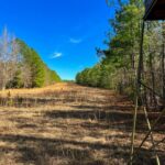
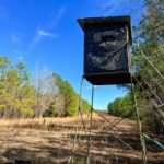
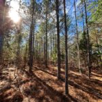
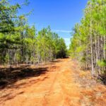
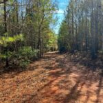
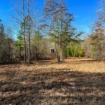
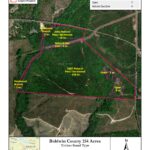
Harmony Ridge Farm is located in Baldwin County between Milledgeville and Sandersville with frontage on both Deepstep Road and Harmony Church Road. The timber is a mix of natural Pine and Hardwood that is approximately 20 years old with an internal road system consisting of primary roads that will accommodate a full-sized truck and other secondary roads suitable for a four-wheeler or other utility vehicle. The topography of the property ranges from 457 feet at the highest point to approximately 320 feet at the lowest point along the stream that serves as the Western property boundary. The property terrain is gently sloping to approximate grades between 6% and 10%. The soils consist of predominately well drained upland soils that will support year-round access, utility, fantastic timber productivity, and all-weather logging. Harmony Ridge Farm is a great hunting property as the natural timber, streams, gas line, and wildlife openings provide great habitat for the deer, hogs and turkey.
Windstream offers high speed fiber optic internet to this area. County water and power is available along Harmony Church road.
2022 property taxes were $1,435.73
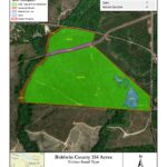
| Timber Stand Type | Acres |
| 2002 Natural Pine/ Hardwood | 138 |
| Hardwood Branch | 5 |
| Open | 7 |
| Natural Gas Line | 4 |
| Total | 154 |
| Destination | Distance |
| Milledgeville | 14 minutes |
| Sandersville | 22 minutes |
| Atlanta | 1 hour 55 min |
| Macon | 44 minutes |
| Athens | 1 hour 36 minutes |
| Jacksonville, FL | 4 hours 11 minutes |
Property Brochure:
Property Brochure – Baldwin 154
Property Maps:
Baldwin 154 Acres – Location Map
Baldwin 154 Acres – Location Map 2
Baldwin 154 Acres – Aerial – Bing
Baldwin 154 Acres – Aerial – NAIP
Baldwin 154 Acres – Primary and Secondary Roads
Baldwin 154 Acres – Color Coded Timber Stand Type Map
Baldwin 154 Acres – Timber Stand Type Map
Baldwin 154 Acres – Soil Map Units
Baldwin 154 Acres – Site Index
Baldwin 154 Acres – Soil Drainage Class
Baldwin 154 Acres – Slope Map
Baldwin 154 Acres – Terrain
Baldwin 154 Acres – Hillshade
Baldwin 154 Acres – Topo Map
Baldwin 154 Acres – Wetlands Map
The information contained herein was obtained from sources deemed reliable, but no liability is assumed for errors or omissions. Purchasers are encouraged to independently evaluate all characteristics of the herein-described property. Notice to Brokers is posted on our website.
 Land.com recognizes Jack Frankhouser as a top producer in the Southeast. Jack's hard work, expertise, and professionalism has helped many people with their land.