Property Details
- Status:
- Price/Acre: $ 2,583
- Total Acres: 127 (+/-)
- Total Price: $ 328,000
- County: Jefferson County
- Contact: Jack Frankhouser at 912-678-5920
- Latitude: 33.1674
- Longitude: -82.2972
- Current Zoning: AG
- Potential Uses: Conservation, Home Place, Hunting, Investment, Mini Farms, Recreational, Timber Investment
Property Description:
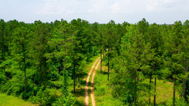
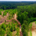
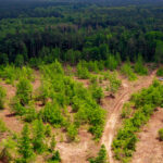
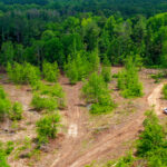
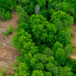
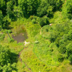
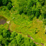
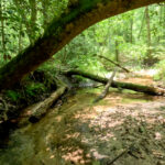
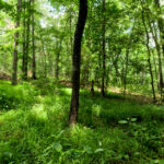
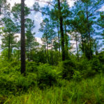
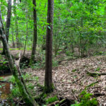
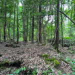
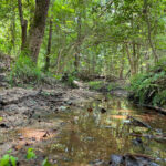
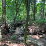
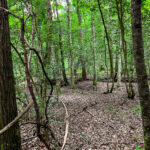
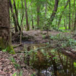
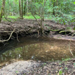
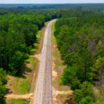
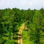
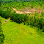
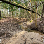
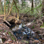
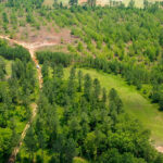
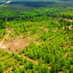
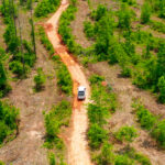
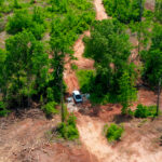
Brushy Hill Farm, ~127 Acres located in Jefferson County on Highway 80, 6 miles outside of Wrens, is a great hunting, recreational or potential home place characterized by rolling terrain, ample wildlife and multiple small streams. 98 acres of 2023 clearcut can be replanted, cleared for agriculture, or left for natural regeneration. ~ 5 acres of mature timber remains at the entrance of the property. Several thousand feet of intermittent and perennial stream, tributaries of Brushy Creek, meander through the 27 acres of Mature Hardwood. The combination of topography, recently harvested timber, natural hardwood, and small creeks create great character and tremendous habitat.
Brushy Hill Farm contains predominately upland soils, featuring good drainage and site index. The soil further enhances the utility of the property by supporting year-round access, good timber growth and just all-around functionality of the property.
Key Features:
· Paved road frontage
· Primary woods road
· Gas Line
· Power Available
· ~27 Acres of Mature Hardwood
· Perennial and Intermittent Creeks
· Lots of deer sign
· Excellent soil productivity
2022 Property Taxes: $1,755.58
Property Profile:
| Stand Type | Acres |
| Clearcut | 98 |
| Gas Line | 1 |
| Mature Hardwood | 27 |
| Power Line | 0 |
| Total | 127 |
Location Information:
| Destination | Distance |
| Augusta | 40 min |
| Athens | 1 Hour 48 min |
| Atlanta | 2 hours 15 min |
| Savannah | 2 hours 15 min |
| Jacksonville FL | 3 hours 51 min |
| Macon | 1 hour 37 min |
Property Brochure:
Property Brochure includes all maps, plats, etc.
Property Brochure – Brushy Hill Farm
Additional Maps:
Plat Book 2 Page 343
Location Maps
Jefferson 127 Acres – Tract Map
Jefferson 127 Acres – Timber Type Map – Color
Jefferson 127 Acres – Timber Type Map
Jefferson 127 Acres – Topo
Jefferson 127 Acres – Wetlands Map
Jefferson 127 Acres – Contour
Jefferson 127 Acres – Drainage Class
Jefferson 127 Acres – Farm Class
Jefferson 127 Acres – Flood Map
Jefferson 127 Acres – Hillshade
Jefferson 127 Acres – Loblolly Site Index
Jefferson 127 Acres – Soil Map Units
The information contained herein was obtained from sources deemed reliable, but no liability is assumed for errors or omissions. Purchasers are encouraged to independently evaluate all characteristics of the herein-described property. Notice to Brokers is posted on our website.
 Land.com recognizes Jack Frankhouser as a top producer in the Southeast. Jack's hard work, expertise, and professionalism has helped many people with their land.