Property Details
- Status: - Active Listings, - Property Sold
- Price/Acre: $ 2,434
- Total Acres: 407 (+/-)
- Total Price: $ 990,832
- County: Washington County
- Contact: Jack Frankhouser at 912-678-5920
- Latitude: 33.0222
- Longitude: -83.0302
- Current Zoning: Agriculture
- Potential Uses: Conservation Easement, Fishing, Home Place, Hunting, Timber Investment
Gin Branch Farm
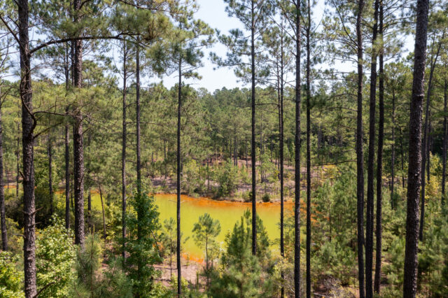
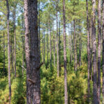
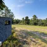
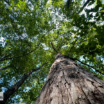
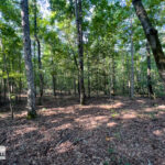
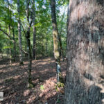
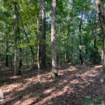
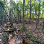
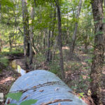
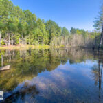
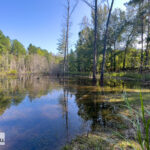
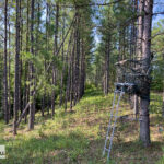
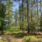
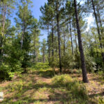
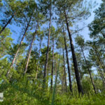
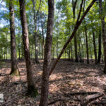
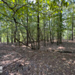
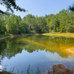
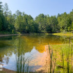
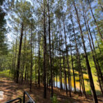
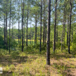
Introducing Gin Branch Farm, 407 Acres of recreational hunting and timberland in Washington County, Georgia. Gin Branch Farm is a wonderfully diverse property with a mixture of mature planted Pine, flooded timber, flowing creek, mature hardwoods, multiple ponds, ample wildlife, and varied topography. The multitude of habitats from the bottoms of Gin Branch to the Longleaf Hills provide a rich collage of ecosystems hosting a variety of wildlife including deer, turkey, hogs, and waterfowl. Furthermore, the gorgeous vistas and timber resources cultivate a deep appreciation for this distinctive family estate.
Timber
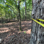
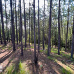
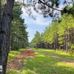
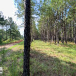
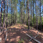
The property supports a variety of hardwood and pine timber with significant timber value. 36 percent, 146 acres, consists of merchantable timber currently utilized for commercial pine production. These areas are on well drained soils with good operability. There are approximately 164 acres of 20-year-old natural regeneration that supports a variety of upland species of hardwood and pine. You will find areas of large natural hardwood surrounding Gin Branch, Bluff Creek. Veins of excellent natural pine and hardwood snake throughout the property further diversifying the properties timber resource.
| Stand Description | Acres | Percentage |
| 1990 Planted Loblolly Pine | 78 | 19% |
| 2004 Lowland Hardwood | 18 | 4% |
| 2004 Planted Loblolly Pine | 68 | 17% |
| 2004 Upland Pine/ Hardwood | 164 | 40% |
| Beaver Pond | 2 | 0% |
| Hardwood Branch | 50 | 12% |
| Hunt Camp | 0 | 0% |
| Mature Upland Hardwood | 16 | 4% |
| Pond | 5 | 1% |
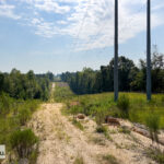
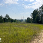
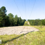
| Transmission Line | 6 | 1% |
| Total | 407 | 100% |
Topography
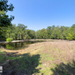
Typical of Washington County, Gin Branch Farm contains variable topography from rolling hills to flat bottoms, with most of the topography classified as gently to moderately sloping. The elevation ranges from around 470’ at its highest point to approximately 300’ along Gin Branch and Bluff Creek. The topography contributes to the incredible diversity of the property offering beautiful vistas overlooking the numerous ponds and meandering rows of planted pine.
Soils
The soil has a broad range of properties from sandy upland sites to the extremely productive bottoms of Gin Branch and Bluff Creek. The well drained sandy sites, such as the northeast portion of the property have native upland species of timber including the majestic Longleaf pine and upland oaks such as turkey and blackjack oak. Some areas of the property were once harvested for Kaolin, but have since been reclaimed and are now forested with planted pine.
Infrastructure
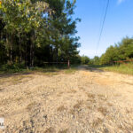
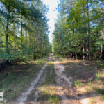
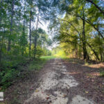
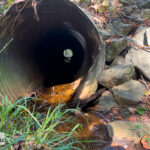
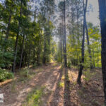
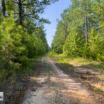
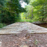
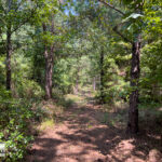
The property has an excellent network of roads conveniently located to provide access to key features and locations. Historically used as logging roads for forestry operations, the infrastructure is designed with a good base for heavy travel. A bit of maintenance and a few water bars to control erosion will have them prepared for the next harvest. A gated entrance from Deepstep road is the primary access point to the property.
Utilities
Power is accessible from Deepstep Road which is currently serving the hunting camp.
Water
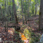
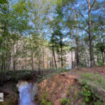
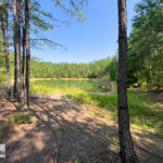
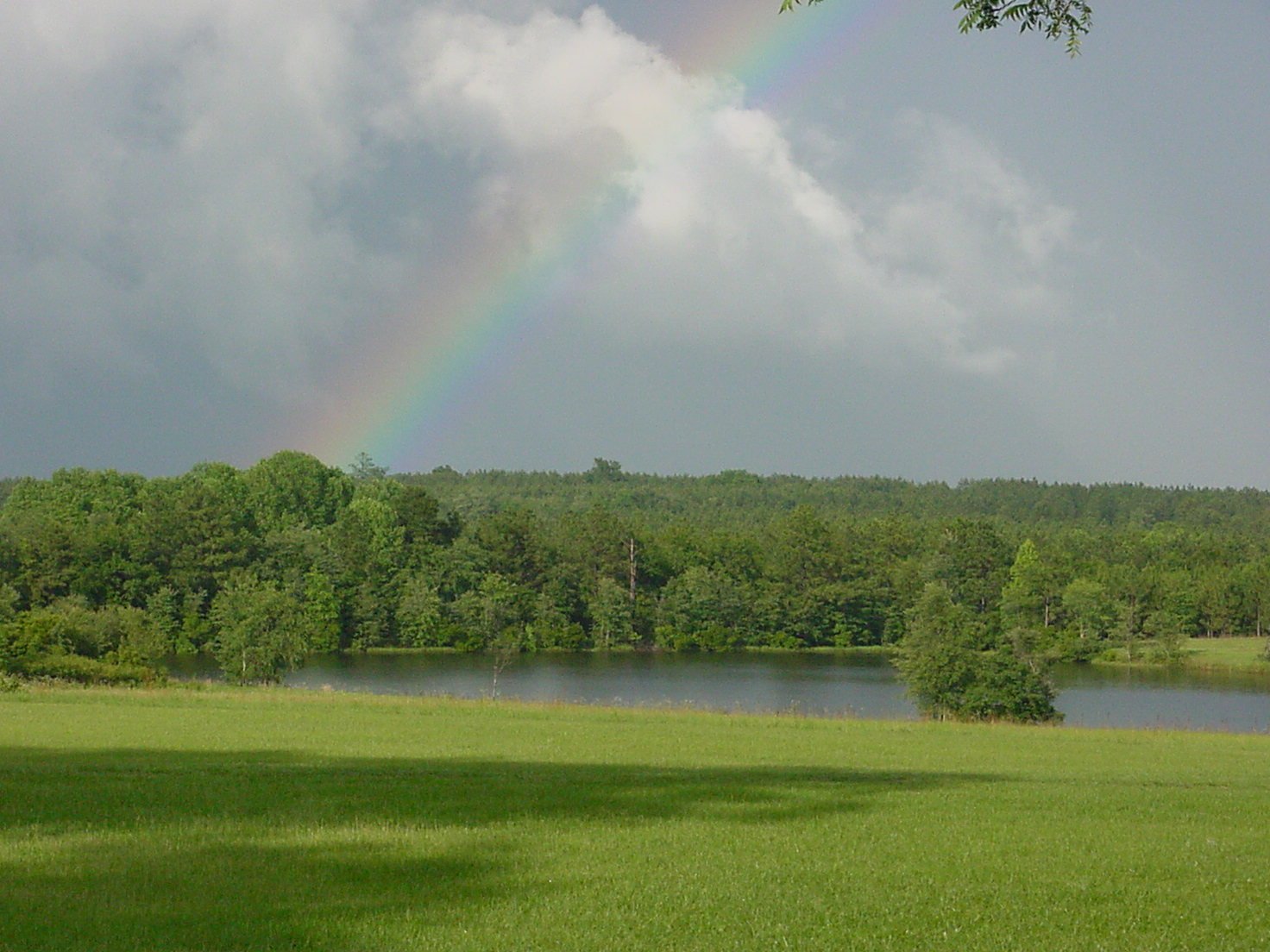
A unique and diverse network of water features are notable throughout the property. Gin Branch runs the length of the property from the Northwest corner to the Southeast corner where it connects with Bluff Creek. These areas alone lend huge diversity and habitat with the rich bottomland ecosystem and flowing creek. Gin Branch and its tributaries are home to several areas of flooded timber further enhancing the property with great waterfowl habitat.
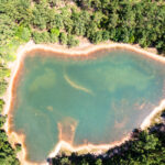
Four Ponds are scattered throughout the property totaling 5 acres, some of which were constructed as part of the reclamation process after mining was completed in the early 90’s.
Miscellaneous
Estimated Property Tax: $3,681
Property is not enrolled in Conservation Valuation Assessment
Property Maps and Brochure
Additional property maps enclosed within brochure. Brochure includes soil maps, topography maps, etc.
Timber Type Map – Color Coded Timber Type Map Tract Map Property Brochure
Virtual 360 Tour
Interactive Property Map
Click here to open map in Google Maps on Mobile Device
The information contained herein was obtained from sources deemed reliable, but no liability is assumed for errors or omissions. Purchasers are encouraged to independently evaluate all characteristics of the herein-described property. Notice to Brokers is posted on our website.
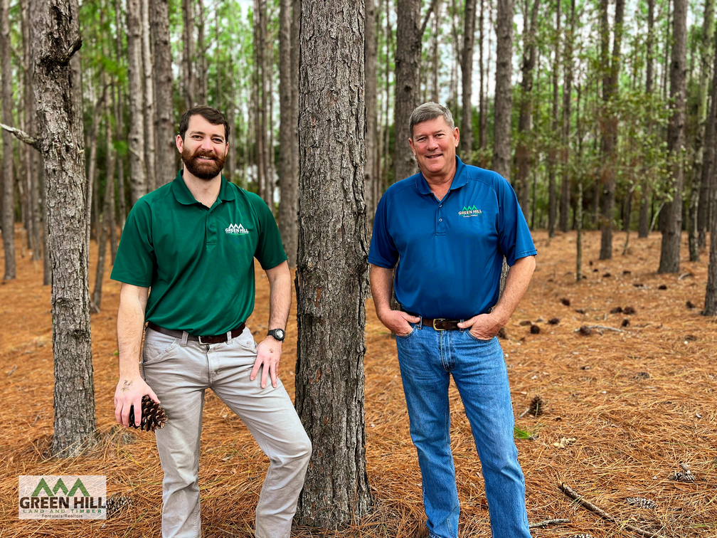
 Land.com recognizes Jack Frankhouser as a top producer in the Southeast. Jack's hard work, expertise, and professionalism has helped many people with their land.